_edited.png)


2025 Global Mosaic Offers Unparalleled,
High-Resolution Earth Imagery From A Constellation Of Advanced Satellites.
Sateye has over 20 satellites in orbit with resolutions better than 1 meter, enabling us to offer the exclusive 2025 global mosaic service. Contact us for subscribe and access this product.
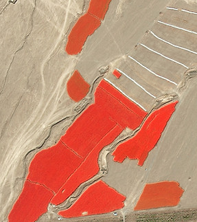
High Resolution Satellites
Over 100 satellites in orbit, with a vast archive of more than 10 million VHR images, ranging in resolution from 30cm to 1m.


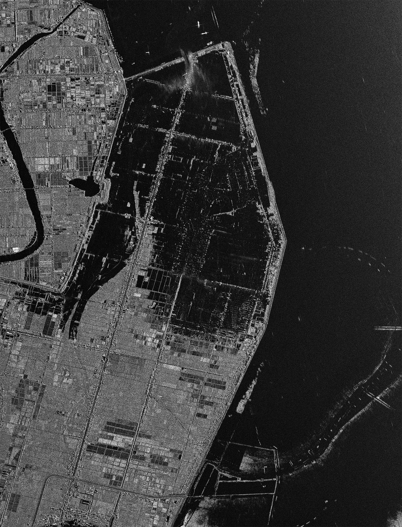
SAR
A combination of X-Band, C-Band, and L-Band SAR satellite resources offering high resolution (up to 0.5m), with a swath width of over 600km and multiple image modes.


Hyperspectral Satellites
A versatile hyperspectral solution with 20–100m resolution, over 100 spectral bands, 50km+ swath width, and multiple imaging modes.

Value-added Services
High-quality DTM, DSM, and various image processing services to meet your industry-specific analytical needs.

DOM
Our DOM (Digital Orthophoto Map) product provides highly accurate, georeferenced imagery, ideal for detailed mapping and analysis.

DSM
DSM (Digital Surface Model) captures the Earth's surface, including buildings and vegetation, enabling advanced urban planning, vegetation analysis, and disaster management.

DEM
DEM (Digital Elevation Model) offers precise 3D terrain data, supporting applications in topography, flood modeling, and environmental studies.